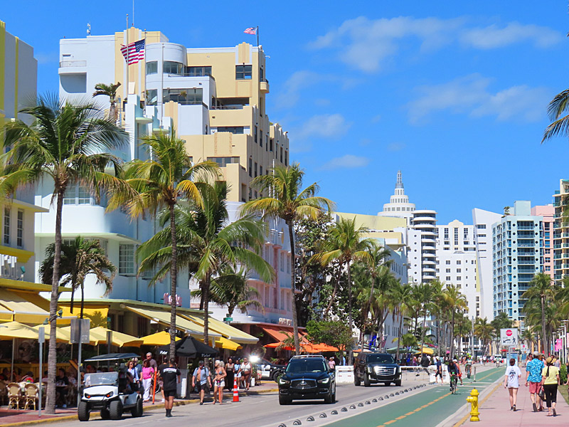
Ocean Drive in the South Beach neighborhood of Miami Beach. (photo property of JoesWorldTour.com)The art deco facades on Ocean Drive bring back memories of Miami Vice.
I didn’t see any TV cops cruising down the street in a Ferrari on my most recent visit but I always enjoy strolling through the South Beach neighborhood of Miami Beach, Florida.
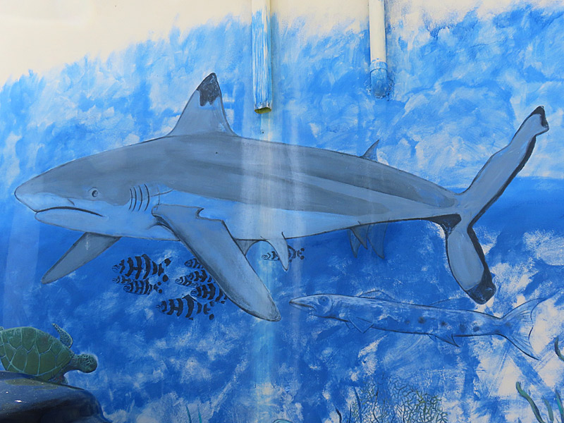
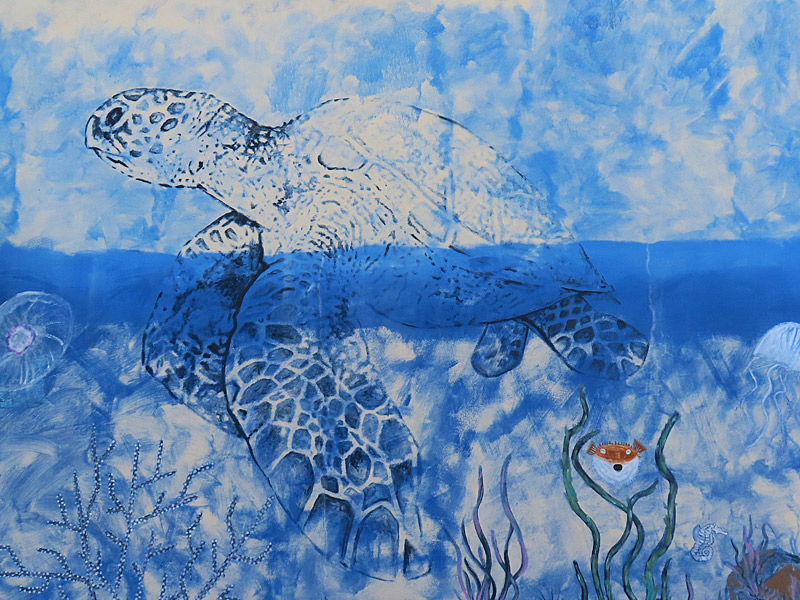
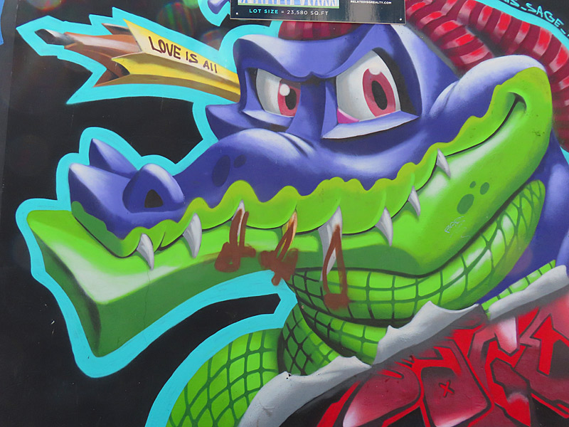
Mural art in the Wynwood neighborhood of Miami, Florida. (photo property of JoesWorldTour.com)What was an industrial and warehouse section of Miami north of downtown is now largely covered with colorful murals.
The best known section of this is the Wynwood Walls, which is surrounded by shops, restaurants and bars.
I spent some time just a few blocks away and found myself wandering by myself around an area that was off the beaten path near a construction site and yet still had plenty of amazing art work to explore.
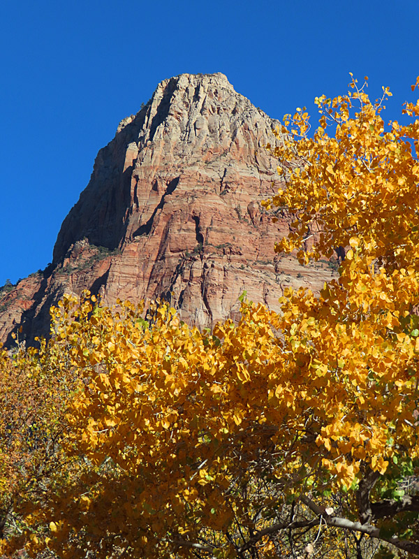
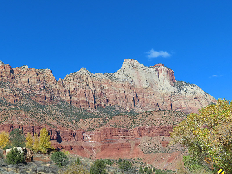
This is one of the first views you have from the Zion National Park visitor’s center near Springdale, Utah. (photo property of JoesWorldTour.com – all rights reserved)I made it into southwestern Utah and Zion National Park the week before Thanksgiving.
I was probably a week or two late to see the peak of the leaves changing colors, but there was still a lot of bright yellow in the trees. That made a vivid contrast to the red and tan striations of the rocky terrain in the park.
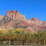
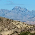
As you get close to Zion National Park, the landscape gives you an idea of what lies ahead. This is in southern Utah not far from the park. (photo property of JoesWorldTour.com – all rights reserved)It takes a little more than two hours to drive from Las Vegas to Zion National Park.
Most of that drive takes you northeast up Interstate 15 through eastern Nevada, a sliver of northwestern Arizona and finally into the southwestern corner of Utah.
You never know what weather you’ll get when you book your vacation a few weeks out but I was fortunate to make the drive on a clear and sunny November day.
There were no traffic issues until I tried to park at the Zion National Park visitor’s center. I guess you need to get there early but I rolled in after 1 p.m. and the parking lot was completely full.
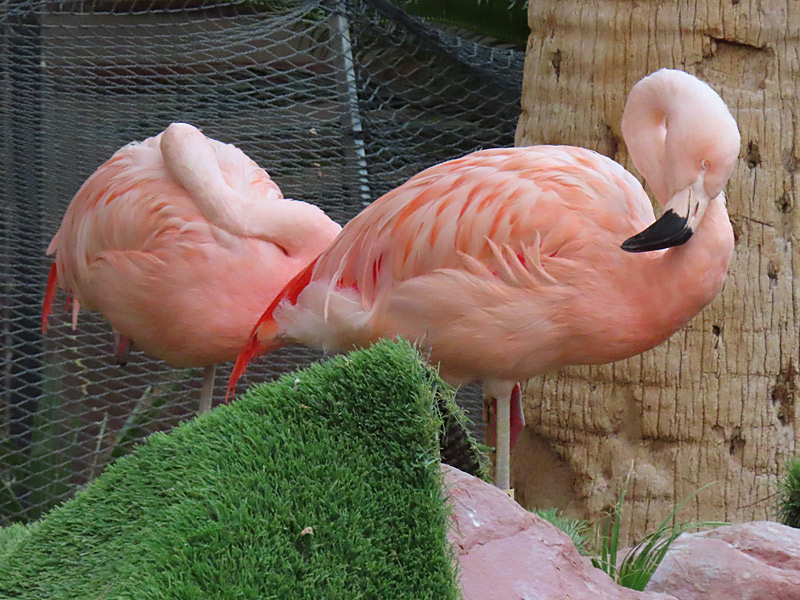
It wouldn’t be a stay at the Flamingo Las Vegas without checking out the real flamingos in the Wildlife Habitat. (photo property of JoesWorldTour.com – all rights reserved)The Flamingo Las Vegas Hotel & Casino on the Strip was my home base in the days leading up to the Formula 1 Grand Prix of Las Vegas.
Amidst the crowds and hubbub of the international gathering of sports fans and gamblers, the Wildlife Habitat at the Flamingo offered a place to find a little peace and quiet.
View of the Mirage Hotel and Casino on the Las Vegas Strip as seen from my room at the Flamingo. (photo property of JoesWorldTour.com – all rights reserved)The Mirage Hotel and Casino will reportedly begin its conversion into a Hard Rock beginning in 2024. That had me thinking this might be my last chance to visit the Mirage in its current form.
I remember back when you could walk into the south entrance to the Mirage from the Strip and see tigers walking around in glassed-in area right next to the hallway. That is the same spot where Diablo’s Cantina is now.
Fountain of the Gods at the Forum Shops at Caesars Palace on the the Las Vegas Strip. (photo property of JoesWorldTour.com – all rights reserved)The Forum Shops can come across as gaudy on first glance.
But the shopping center connected to Caesars Palace on the Las Vegas strip combines lots of high end shops with some fun architecture and entertaining fountains.
Caesars Palace on the the Las Vegas Strip. (photo property of JoesWorldTour.com – all rights reserved)I didn’t stay at Caesars Palace during this trip to Las Vegas, but my room across the street at the Flamingo gave me a great view and a chance to photograph Caesars at different times of day.
The Strip looked a lot different this time around due to all the fencing and seating areas set up for last weekend’s Formula 1 Grand Prix.
Space Shuttle Discovery at the Udvar-Hazy Center air and space museum in Washington DC (photo property of JoesWorldTour.com – all rights reserved)The Udvar-Hazy Center is a massive air and space museum next to Dulles Airport in Washington DC and is part of the Smithsonian Institution.
It includes both civilian and military aircraft as well as displays from our exploration of space.
The thing that I found most fascinating was the Enola Gay, the Boeing B-29 Superfortress that dropped the first atomic bomb on Japan at the end of World War II.
The Udvar-Hazy Center is open daily except for Christimas and admission is free ($15 for parking).