
(photo property of JoesWorldTour.com – all rights reserved)
The park is west of Moab, Utah, and located is a short distance from the northern entrance to Canyonlands National Park.


(photo property of JoesWorldTour.com – all rights reserved)
The park is west of Moab, Utah, and located is a short distance from the northern entrance to Canyonlands National Park.

(photo property of JoesWorldTour.com – all rights reserved)
There are plenty of trails and camping is available at the park.
You reach the Canyonlands Island in the Sky visitor center by taking Highway 313 southwest from Highway 191, which is the north-south highway to and from Moab, Utah.
–National Park Service: Canyonlands


There is a nice place to park next to the river called Lions Park and Transit Hub. The stop also has restrooms and access to a paved bicycle lane.


(photo property of JoesWorldTour.com – all rights reserved)
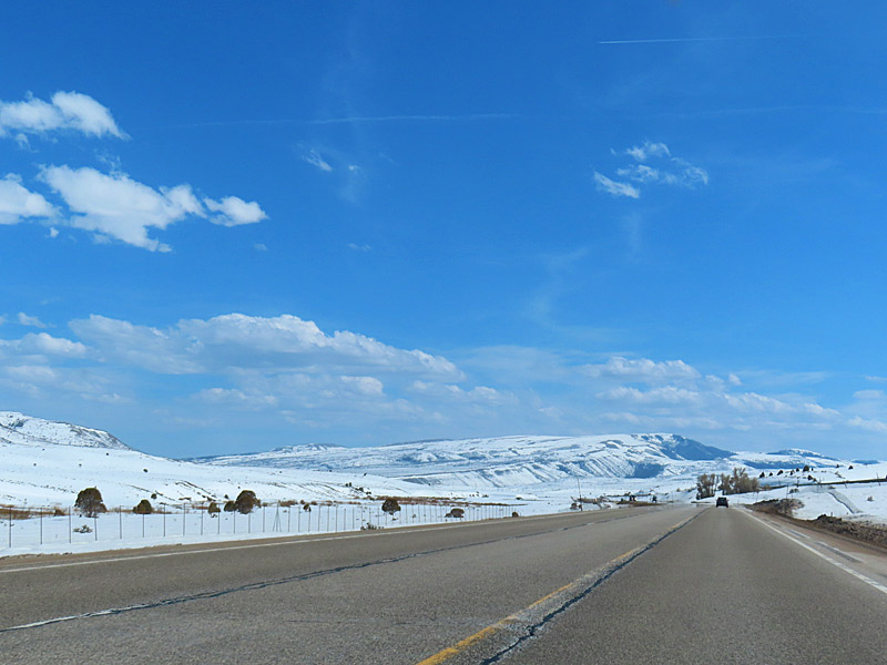
The drive through the mountains on Highway 6 takes you to elevations as high as 7,477 feet. I see a sign along the way that marks Soldiers Summit at 7,477 feet. There is snow around the road at the higher elevations, but the road itself is clear and dry.
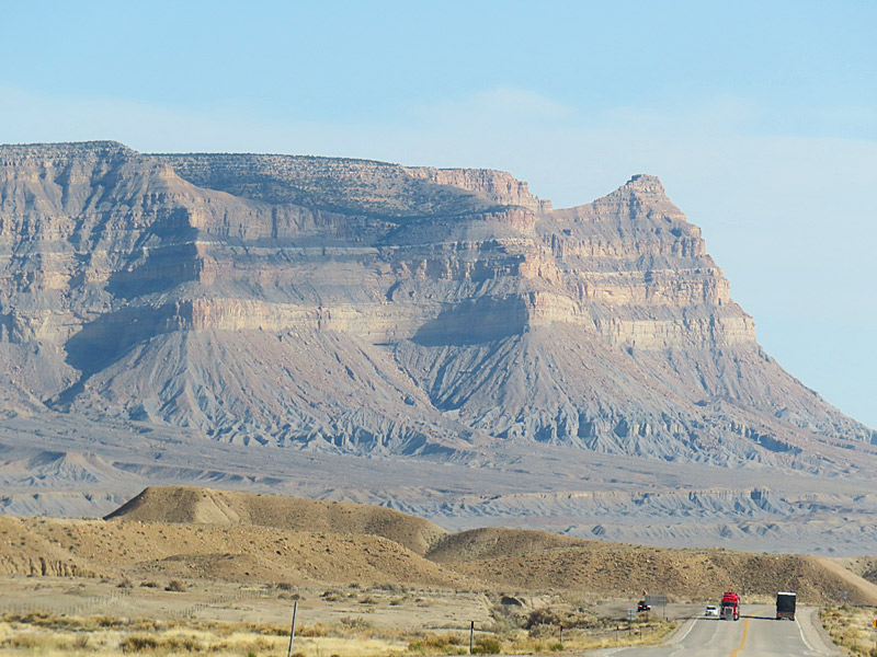
I’m back down to around 4,000 feet when I hit Interstate 70 near Green River, Utah, and head east about 20 miles to pick up Highway 191 south toward Moab. I passed the entrances to the northern section of Canyonlands National Park and about 10 miles later Arches National Park shortly before I reached the Moab city limits.